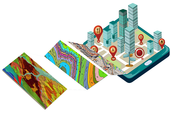
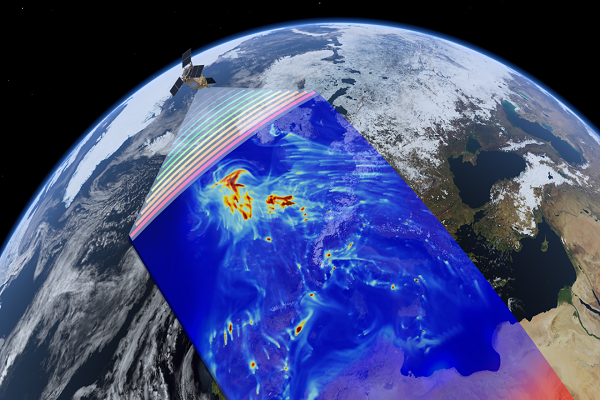
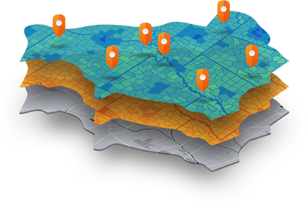
Whether you are a student considering your first career or someone already in the workplace who is considering a new career, choosing GIS can be rewarding in many ways. GIS technology uses specialized computer systems to get geographic data and integrate it into intelligent “super” maps. The data can then be used to create endless “what if” scenarios, providing a powerful tool for applications including Cartography (map-making), Emergency Management, Environmental sciences and security, Forest and range management, Homeland security, Medicine and healthcare, Real estate development and appraisal, Social Services, Transportation, Urban planning and development, water resources, etc. A career where GIS is a fundamental part of your day allows you to be immersed in a field where you can continually grow and move forward in an environment of lifelong learning.
GIS in education is currently a topical issue in India, too. GIS is getting cheaper, faster, easier to use, and packed with more and better data. Rather than "experts" using GIS strictly to inform in a top-down fashion
Students: Graduate and postgraduate students from any discipline can apply.
Professionals: State government employees working in the field of water
resource management, forestry, land resource management, drinking water supply,
power distribution, mining, disaster management. Others professionals working in
the private sector may also apply.
Students pursuing their Graduation and Post-Graduation courses may also apply and
can pursue it as an add-on skill development.
Developed by Collabx