Albedo Foundation positions geospatial education as a practical skill pathway rather than only a theory-first classroom experience.
Learners get exposure to the tools and environments that matter for modern spatial analysis and mapping work.
The institute’s programmes support foundational growth as well as deeper topic exploration through workshops and guided sessions.
From fundamentals to software workflows and cloud geospatial tools, the course mix is built for serious learners who want practical growth.
A strong starting point for understanding spatial concepts, software basics, and map-based exercises.
Focused learning for those who want GIS understanding connected to real planning and project use cases.
Useful for learners who want to move into scripting, repeatable processing, and richer geospatial data work.
An introduction to cloud-based geospatial analysis for deeper exploration, visualisation, and research readiness.
The institute emphasizes understanding before tools so learners can apply GIS thinking with more confidence.
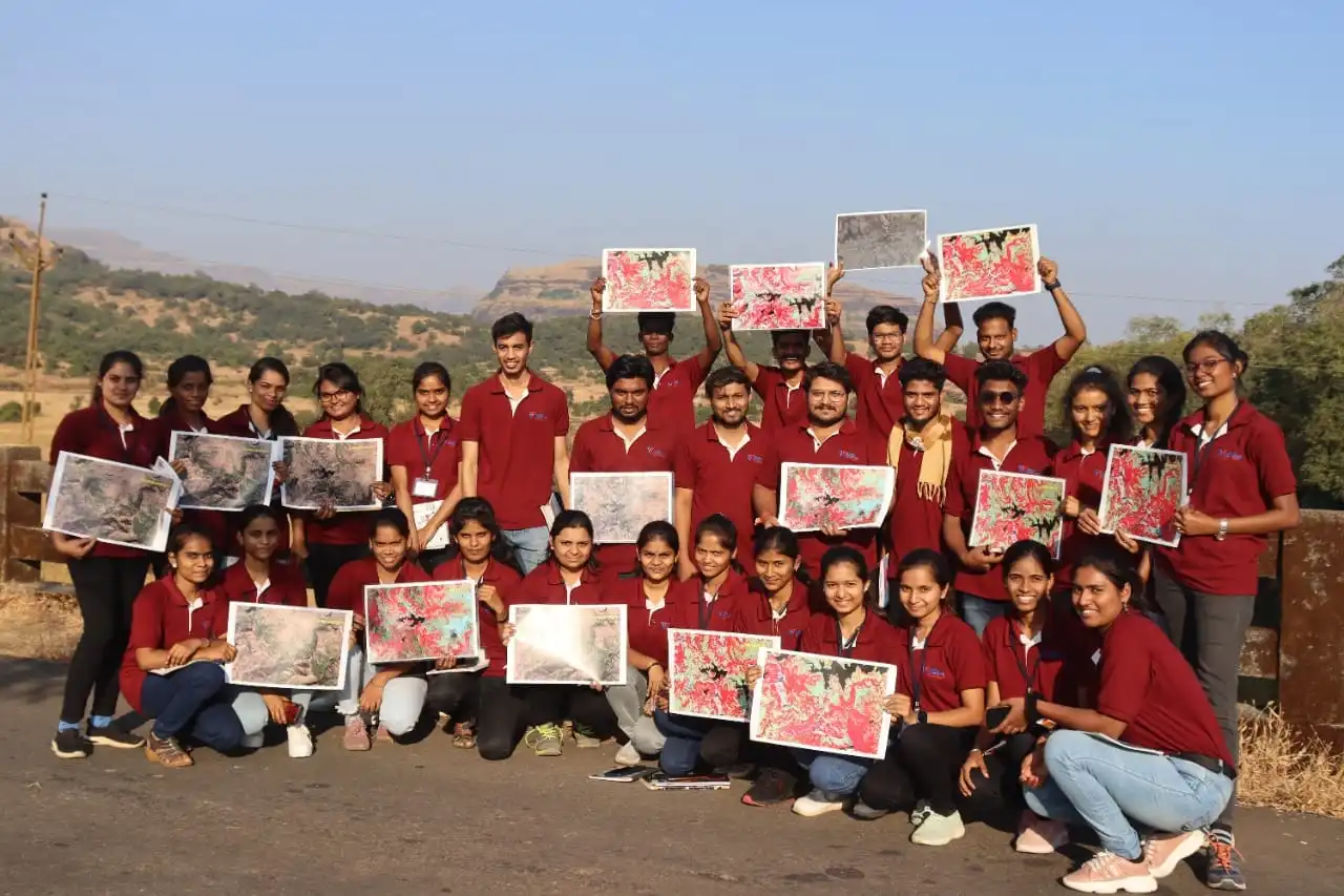
Training includes practical exposure to QGIS, Python workflows, and geospatial data handling methods.
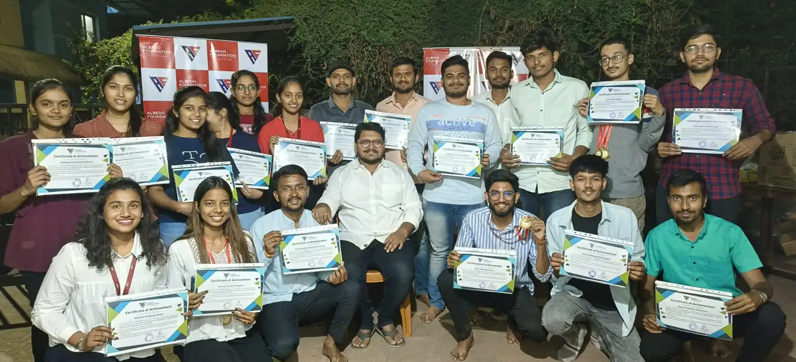
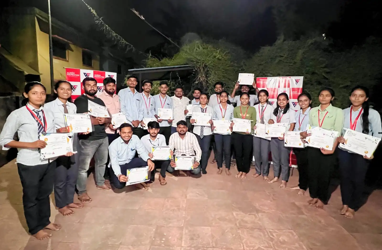
Learners can engage through shorter events or deeper multi-month programmes depending on their goals.
Awareness sessions and academic interactions help institutions introduce geospatial learning meaningfully.
Learners build familiarity with tools and workflows that support research and professional growth.
Video resources make it easier for visitors to explore topics before making an enquiry.
The training model is flexible enough to support academic learners as well as working professionals.
Visitors can explore Google Earth Engine, Python, OpenStreetMap, Sentinel data, drone applications, and other geospatial topics through the video library. This gives the homepage more substance and a clearer path into the site.
Useful for learners who want a preview of advanced geospatial applications.
A wider content mix makes the institute feel active, current, and technically capable.