The Albedo foundation organized the webinar. The key speaker was from the GIS industry and was having to experience more than three years in Python programming. In the webinar, he explained why Python is required in every domain and industry nowadays with its various carer opportunities. He focused on using Python programming for geospatial data analysis and visualization. Through this webinar, you can get answers related to fundamental questions of Python you have in your mind. The session was a mini hands-on session of Python scripting.

An eminent personality delivered the webinar in the geospatial technology research domain Mr. Sanjay Apturkar, Associate Scientist, MRSAC. In his talk, he touched on all the aspects of geospatial technology right from its origin and introduction to the recent cutting-edge applications. This webinar will clarify your fundamental ideas about GIS technology and motivate you to enter the sector.
The webinar was organized by the Albedo Foundation and delivered by Dr. Unmesh Khati, Assistant Professor, IIT Indore. In the webinar, he talked about the basics of SAR, interferometry, and polarization. He illustrated various applications of SAR in geology, agriculture, civil engineering, and climate studies. The exciting part of the webinar was how the users could download the open-source SAR data and the tools to handle it. We thank Dr. Unmesh Khati for giving such an excellent webinar.
Albedo Foundation was invited to guide the Geography students regarding geospatial technology and opportunities available in the same domain.
Department of Geography organized the talk, Dang Seva Mandal's Dadasaheb Bidkar Arts, Science, and Commerce College, Peth; we are very grateful to the organizing committee for giving us a chance to share our views.
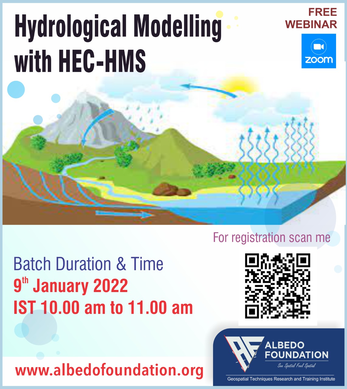
Albedo Foundation organized 5 hours online hands-on workshop entitled 'Hydrological Modeling with HEC HMS.' All participants enjoyed the sessions and appreciated the efforts taken by the workshop instructor also, and they are very eager to join the following workshops with Albedo Foundation. In this workshop, participants learned project creation, watershed delineation, various parameters' components settings, and calibration of the model with the understanding of simulated and observed hydrographs.
Albedo Foundation organized the webinar, and the response from the participants for this webinar was excellent. The key speaker for this webinar is an eminent personality from geospatial technology applications in Hydrological Modeling. He explained all the required inputs in the HEC-HMS model in the simplified form right from the watershed delineation to the model simulation and the results interpretation in graphs and the summary tables.
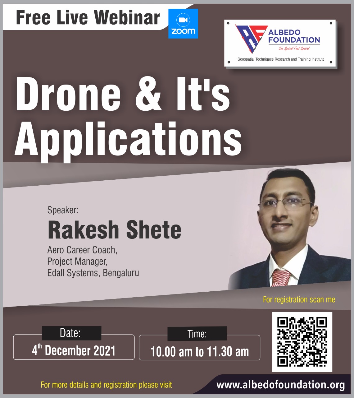
The Albedo Foundation organized a drone and Its Applications webinar. Mr. Rakesh Shete, Project Manager, Edall Systems, Banglore, was the speaker of this webinar. He discussed the drones and their parts. He focused on the crucial points regarding drone piloting in India. The various applications of drones and hydrones were the exciting part of this webinar. Watch this video and explore the more opportunities hidden in drone technology and applications.
Albedo Foundation, Geospatial Techniques Research and Training Institute has organized a two-day workshop on Geospatial applications in Town Planning with QGIS hands-on training for the town planners as a capacity building program in the respective department. Thank you so much for allowing us to connect with you. Your positive, motivating feedback at the end of the session will encourage us to continue our efforts in the geospatial technology domain.
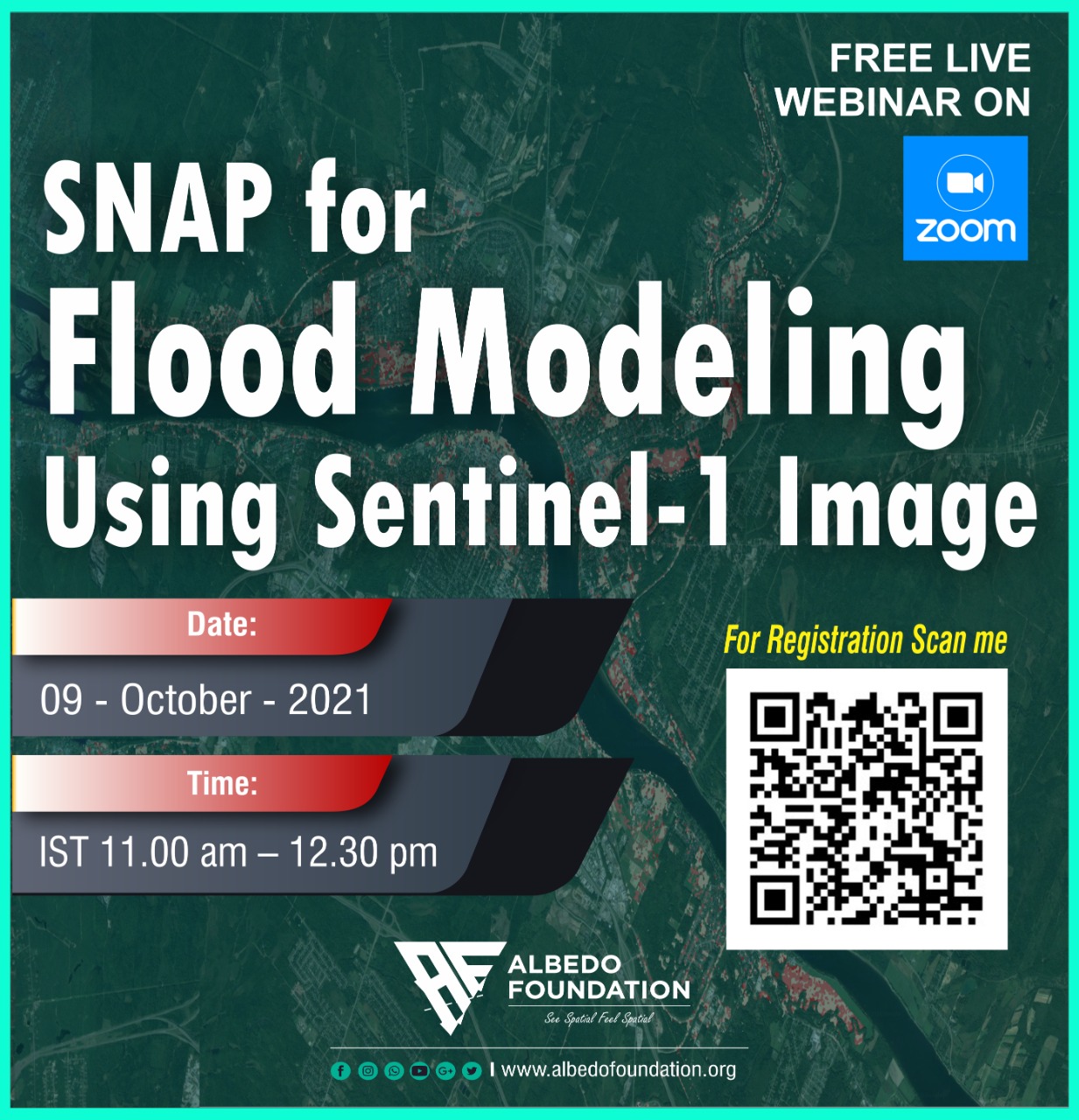
Albedo Foundation organized a webinar on SNAP for Flood Modeling Using Sentinel-1 Image on 9th October 2021. We got an excellent response from the audience, and the overall webinar feedback from the participants was overwhelming. In the session, the speaker told us about the basics of flood modeling and the different GIS software related to it. The speaker discussed applications of Sentinel-1 SAR data. He explained the importance of SNAP and Sentinel data to inundate the flood area regarding a few case studies.
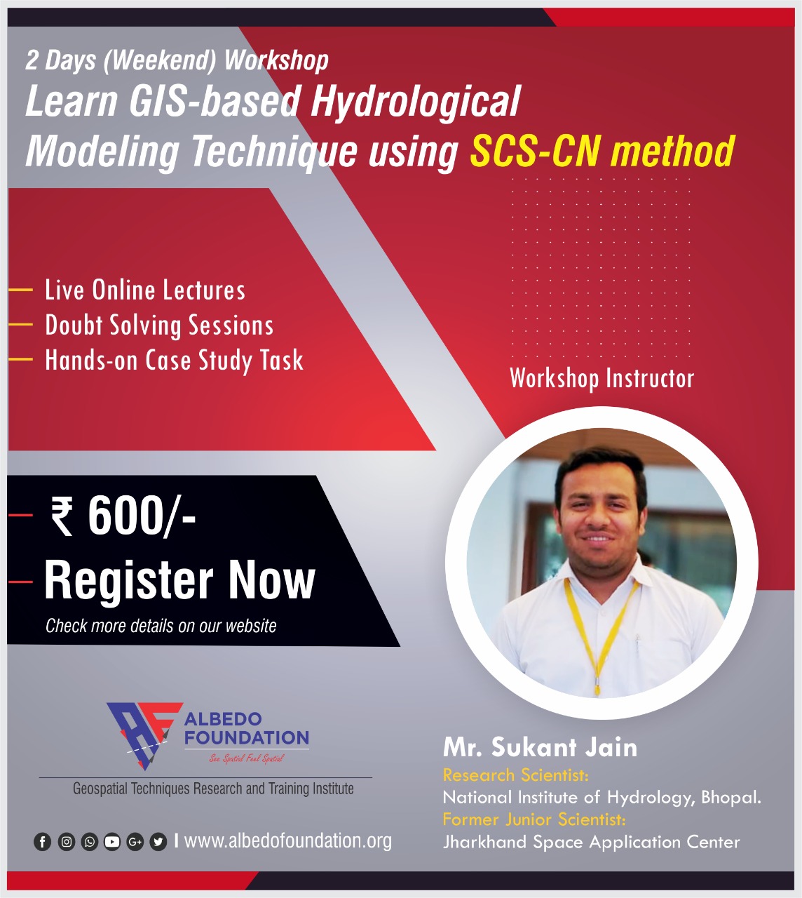
This workshop was specially designed for those interested in the SCS-CN method for any hydrological modeling with GIS. The two-day seminar boosted participants' confidence in using GIS to prepare data and run a model with the SCS-CN method. During this workshop, participants got a chance to work on a case study and got maximum benefits.
Workshop Highlights:
The workshop was related to the flood simulation model. This short course benefitted the participants to boost their confidence in the simulation of flood modeling with HEC-RAS. Participants enjoyed the live online hands-on sessions during the three-day workshop, and they went through a case study to check their understanding and evaluation.
Workshop Highlights:
The primary goal of this course was to introduce learners to channel flow using the HEC River Analysis System (HEC-RAS). By the end of this course, they should be able to:
.jpeg)
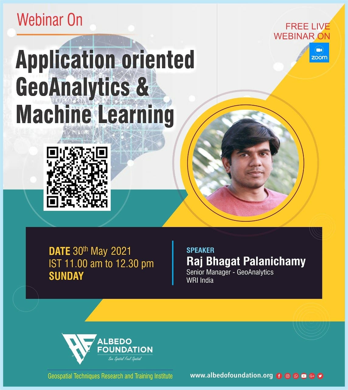
Albedo Foundation organized a webinar on Application-oriented GeoAnalytics and Machine Learning.
Mr. Raj Bhagat Palanichamy (Senior Manager, WRI-India) was the speaker for this webinar. The webinar was terrific, and he gave insights on the topic very well. In the webinar video, you can see he is talking about the most important steps one should follow before commencing any GIS-related project. Through this short talk, he explained the importance of art and communication through the maps is also an essential part of any project and how one can deal with it. Watch Webinar Here
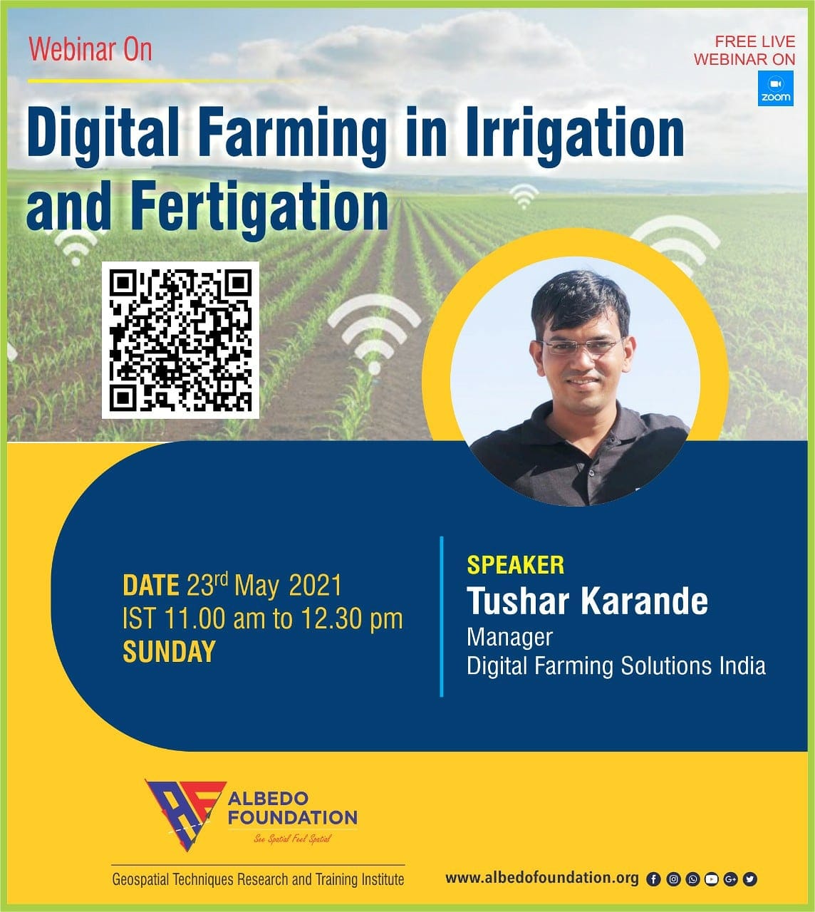
Albedo Foundation invited the eminent personality in irrigation and automation in irrigation, Mr. Tushar Karande (Manager, Digital Farming Solutions India).
He has presented this webinar outstandingly. He gave insights on irrigation and its methods with their merits and demerit. He spoke about the digital farming innovations in irrigation and how farmers benefit from the IoT applications in the field. How are sensors and control units modified nowadays and their affordability and reliability too! At the end of the session, he gave a live demo of how satellite imagery and its different products (RS indices) are implemented to visualize fields better and improve the DSS. Watch Webinar Here
Saikat Maiti, working as a volunteer for OSM mapping long ago, has wonderfully explained the need for an hour of OSM mapping and its benefits in various geospatial data applications and policies in the webinar entitled 'OpenStreetMap | Is this a Map or more than Map?'.
In the webinar, participants were exposed to how one can contribute to the geospatial data preparation and OSM and how that can be used for any location-specific application, such as COVID 19 vaccination. Watch Webinar Here

Albedo Foundation has organized the webinar entitled 'Introduction to SWAT Model, and its Geospatial Applications.' Dr. Santosh Pingale has wonderfully explained the interface of the SWAT model with insights into its required input data and the algorithms. He has presented a case study regarding the geospatial application of the SWAT model.
The demonstration of QSWAT will help you understand the model and how to do simulations in the model; Watch Webinar Here

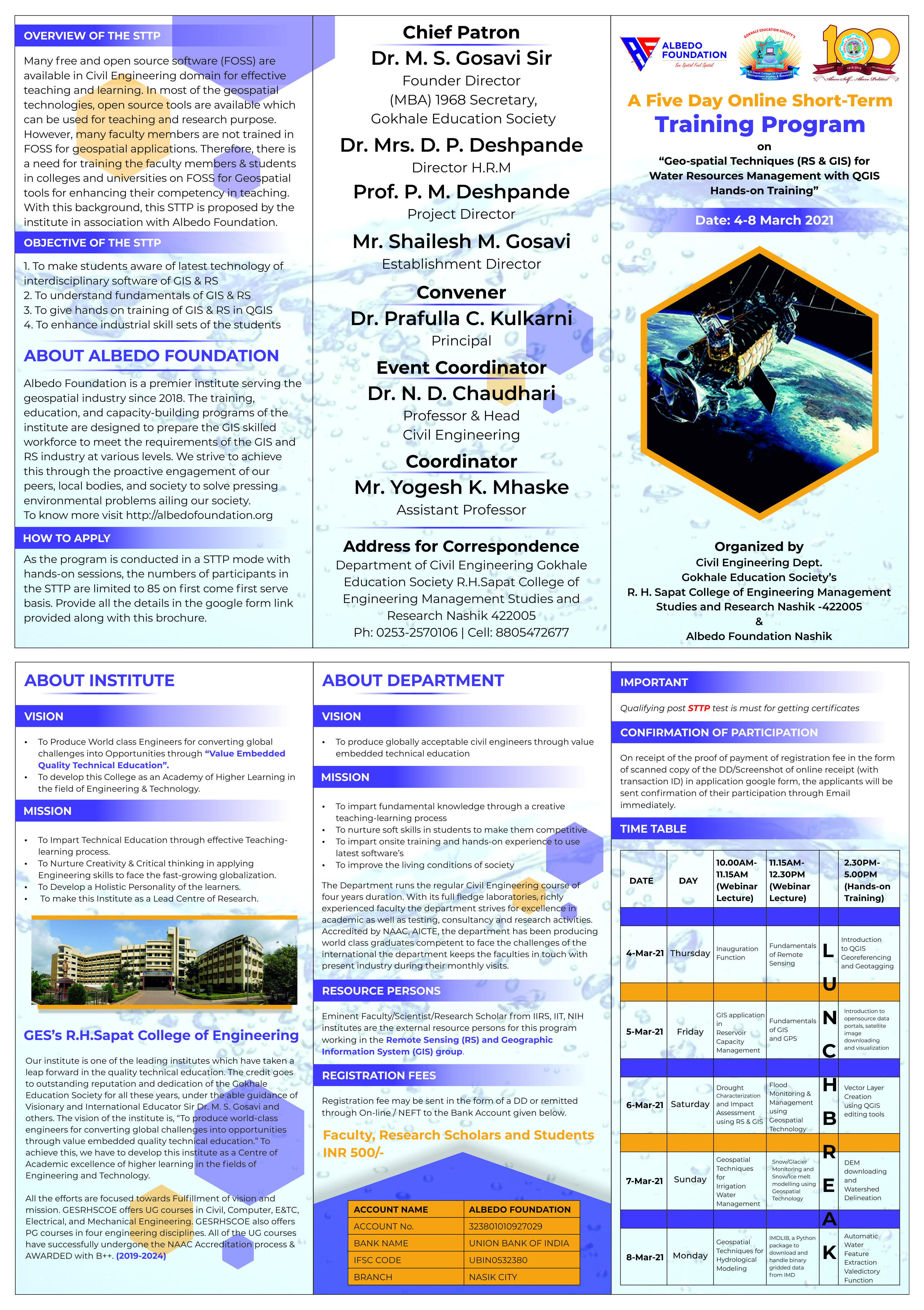
Albedo Foundation has organized a Five Day Online STTP associated with RHSCOEMSR Nashik on "Geospatial Techniques (RS & GIS) for Water Resources Management with QGIS Hands-on Training." Detailed STTP Schedule
We got an outstanding response from the participants, and we are very thankful to all the eminent personalities who accepted our invitation as guest speakers in webinars.
During this STTP, we have conducted webinars on Reservoir Capacity Management, Drought Assessment, Irrigation Water Management, Flood Monitoring, Snowmelt Runoff Modeling, Hydrological Modeling, and IMDlib hands-on session along with basic and advanced QGIS hands-on workshop.
Here are a few feedbacks we want to share with you and wish the same support and motivation from you all in the future Read Feedbacks
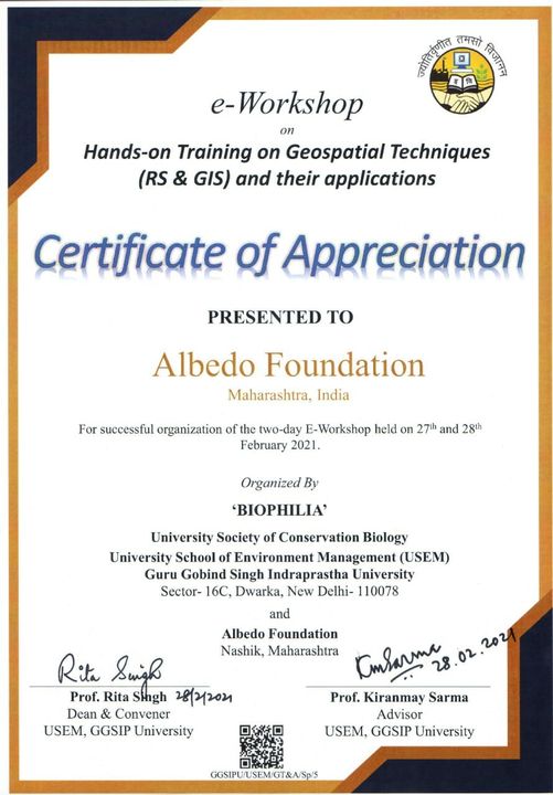
Albedo Foundation, in association with BIOPHILIA, The University Society of Conservation Biology University School of Environment Management, Guru Gobind Singh Indraprastha University, New Delhi, has organized A two day E- Workshop on "Hands-on training on Geospatial Techniques (RS & GIS) and their Applications" on 27 and 28 February 2021
We are very thankful to all the webinar speakers who accepted our invitation for this workshop and participants. Albedo Foundation strives hard to penetrate GIS techniques among the students and society with its various capacity-building programs.
Check the STTP Schedule and Content Click Here
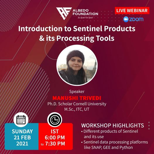
Manushi Trivedi, Ph.D. Scholar, Cornell University was the key speaker for the Webinar. She spoke about the various Sentinel satellite products available in open source and downloading them for multiple applications. She gave thorough technical information of each Sentinel product with its application in the geospatial domain. All the participants enjoyed the demonstration regarding the downloading of Sentinel-1 data and its preprocessing of the SNAP tool, an open-source tool for the Sentinel SAR data. Watch the recorded Webinar on Watch Webinar Here
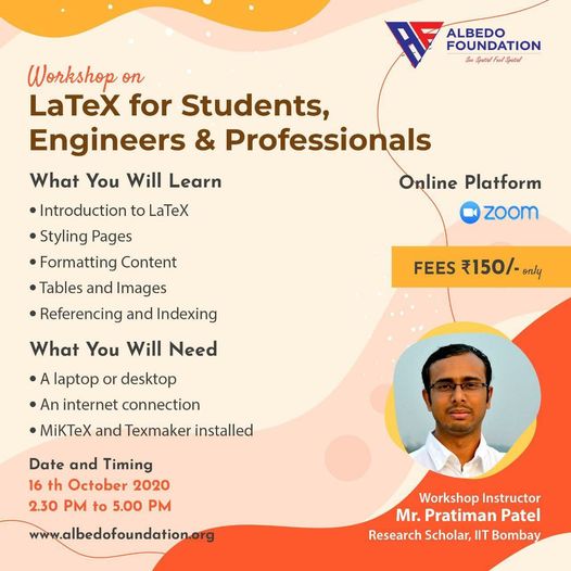
An online three-hour workshop was organized on LaTEX, and it was conducted by Dr. Pratiman Patel, IIT Bombay. In this workshop, the trainee understood why the LaTEX tool is essential when writing a research paper, book chapter, or research thesis. In the seminar, Dr. Pratiman covered the key points such as styling the pages, formatting contents, tables & figures, and Referencing with the help of the LaTEX tool. Ten participants were enrolled in the online workshop.
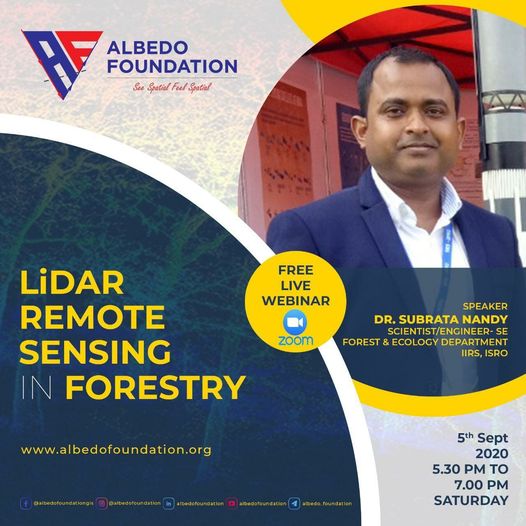
Albedo Foundation organized a live webinar on "LiDAR Remote Sensing in Forestry." The key speaker for this webinar was Dr. Subrata Nandy, Scientist/Engineer-SE, Forest and Ecology Department, IIRS, ISRO. Visualizing landscape or any tree canopy in 3D? has always been a curiosity, and we got the answers for this mystery in the webinar when Dr. Nandy told us about the LASER scanners and GIS tools to handle the point cloud data. His talk explores canopy measurement techniques, field surveys, and terrestrial LASER scanners (TLS) case studies. In his address, he also gave applications of GIS and RS in the forest fire mappings.
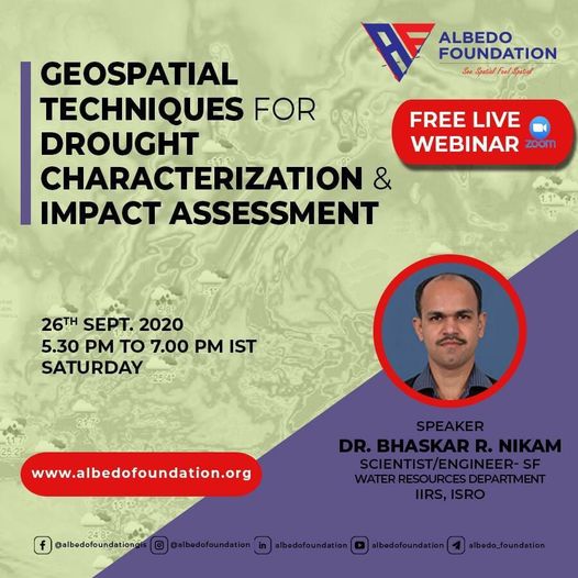
Albedo Foundation organized a live webinar on "Geospatial Techniques for Drought Characterization and Impact Assessment." The key speaker for this webinar was Dr. Bhaskar Nikam, Scientist/Engineer-SF, Water Resources Department, IIRS, ISRO. He highlighted the various drought indices and how to use remote sensing and GIS tools to calculate and analyze. He told the participants about remote sensing datasets and their sources, which can be used for further interpretations. With the help of a few case studies and live projects, he concluded the session with the note of how geospatial techniques are essential nowadays for their economic values and strategic plannings.
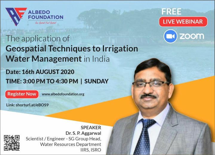
Albedo Foundation organized live webinar on "Geospatial Techniques to Irrigation Water Management in India" and invited eminent scientist Dr. S. P. Aggarwal Scientist/Engineer SG Group Head Water Resource Department at IIRS, ISRO. In the webinar he talked about why geospatial techniques are important in irrigation management and which Indian satellites one can use for the same, he also gave insights of how irrigation can be quantified and regulated in the watershed using geospatial science at its best. For this webinar more than 550 participants registered.
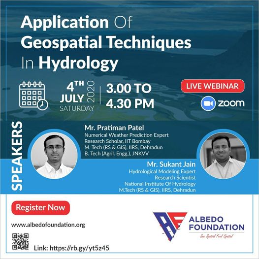
Albedo Foundation organized a live webinar on "Application of Geospatial Techniques in Hydrology" Last week and for this webinar more that 450 participants were registered but we have selected only 100 participants based on few criteria. For those who couldn't attend this webinar for them we have decided to repeat the same webinar soon...
We are very thankful to the experts for accepting our request and conducted a memorable webinar...
Mr. Sukant Jain, Research Scientist, National Institute of Hydrology, Bhopal and hydrological modeling expert spoke on a topic rainfall runoff modeling and Mr. Pratiman Patel, Numerical Weather Prediction Expert put light on river flood modeling and damage assessment through GIS.
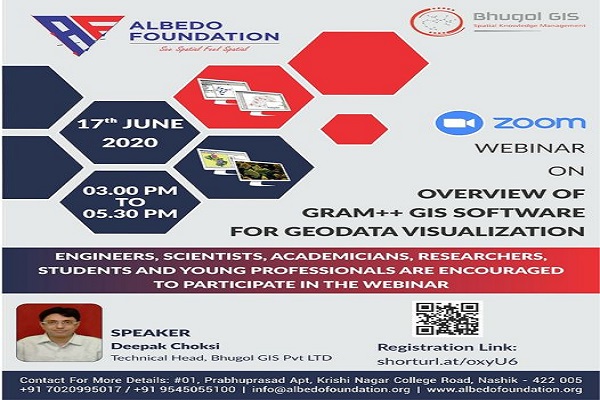
Albedo Foundation and Bhugol GIS Pvt Ltd organized the live webinar entitled "Overview of GRAM++ GIS Software for Geodata Visualization." We are very thankful to Mr. Deepak Choksi, Technical Head in Bhugol GIS Pvt Ltd, for accepting our invitation as a speaker for this webinar. Participants were happy with this technical webinar, and they appreciated the albedo foundation for organizing such an insightful session. They demanded we come with more geospatial technology-related topics.
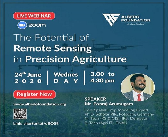
Albedo Foundation organized a live webinar entitled "The Potential of Remote Sensing in Precision Agriculture" on 24th June 2020 and we got a great response for this webinar as more than 200 participants registered for the same. We are thankful to Mr. Ponraj Arumugam, Geospatial Crop Modeling Expert for accepting our invitation as a speaker for this webinar. It was a nice session as participants were enthusiastic to ask question regarding GIS, RS and future of Indian agriculture with new cutting edge technologies like LiDAR, RADAT, IoT etc.
We Albedo Foundation were very excited to celebrate GIS DAY 2019 with 8th std school children of tribal school at Waghera Nashik. A total of 55 students were participants in the event. In this event, we demonstrated what GIS, map-making, and types of maps are. Students were happy to participate in the Geotagging maps and geography quiz. Students tried to find out the geography quiz answers on google earth, and they were delighted and curious to learn more about geography and the earth systems. Teachers were very supportive of this event, and they agreed to use GIS as an interactive learning tool for the geography classes.
Albedo Foundation arranged the one-day GRAM ++ GIS workshop in association with NDMVPS's KBT COE at Nashik. More than 75 trainees attended the seminar, comprised of the faculty from Civil Engg., Geography, Architecture and Diploma, UG, PG students from the City and the nearby districts. The resource person was Mr. Deepak Choksi, who is currently working as a Project Manager at IIT Bombay and the critical person in developing GRAM ++ GIS. He elucidated the terms of GIS and GIS applications in civil engineering and the other science allied fields. He also demonstrated a few modules of GRAM ++ GIS software indubitably. We hope this workshop will navigate the trainees to implement GIS skills in their respective professions and the research works. Feedback from the trainees is affirmative, so we are actuality to organize these kinds of workshops may more. Every trainee was awarded a participation certificate at the ending ceremony.
Developed by Collabx