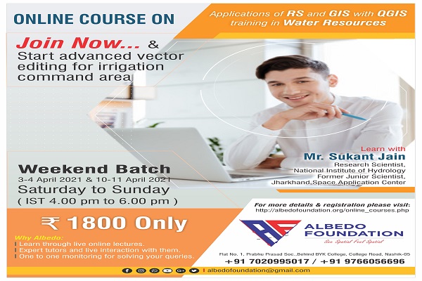
In academics or in the research domain related to water resource management or hydrology nowadays everyone is fascinated by remote sensing and geographic information system. This course will help you to learn the fundamentals of GIS and its applications in the water resource domain. The QGIS hands-on training developed by our course instructor is industry-based and also they will boost your confidence in the research project too. You are just a click far to enjoy the GIS learning with our expert.
Know our course instructor
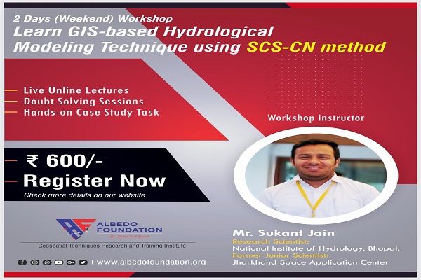
He has pursued his M.Tech in Remote Sensing and GIS from the Indian Institute of Remote Sensing (IIRS, ISRO). He is currently working as Research Scientist at the National Institute of Hydrology (NIH), Bhopal and formerly he was working as a Junior Scientist at Jharkhand Space Application Center.
What you will learn
- Basic concepts of GIS and Remote Sensing
- Advanced vector data editing for irrigation command area
- Geo-registration of scanned maps
- Applications of RS and GIS in water resources management�
- Satellite data downloading and handling in QGIS�
- Terrain analysis and mapping in QGIS�
- Watershed Delineation and Channel Networking in QGIS
- Automatic water body extraction using MS images and QGIS�
- One bonus lecture on Google Earth Engine (GEE) for water resources management
- You will get all the lectures recorded on our albedo foundation android app so don't worry if you skip the lecture
- The whole course will be a live online class so you can interact with the instructor and feel free to ask your doubts immediately�
Prerequisite
- Basic knowledge of computer
- A working computer
- Good internet connectivity
For whom
- Anybody who wants to work with geospatial data
- A professional working in the Hydrology domain
- Research Scholars and Students looking for GIS course for their projects in Hydrology
Timings
IST 4.00 pm to 6.00 pm (Saturday & Sunday)